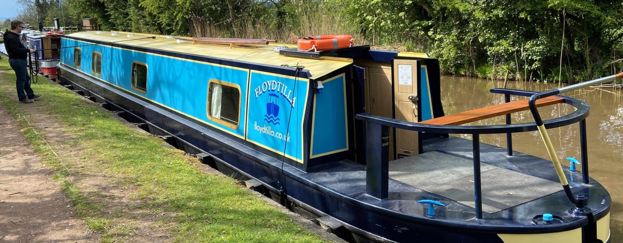
The Inland Waterways Association Silver Propeller Challenge is a project from the IWA to get people and boats to visit as many of the little used areas of the UK’s inland waterways.
What you need to do is visit 20 different places on the LWA list, take a photograph of you and your mode of transport (any type of boat, canoe or paddleboard) at each location, and save all your photos to submit once you’re done. Just ensure your pictures make the location easy to identify.
Everyone who completes the challenge will receive a Silver Propeller Challenge plaque to attach to their vessel. The challenge opened on 1st January 2018 and covers all visits from that date onwards The LWA wants to see evidence of these waterways being used today.
There is more information about how to submit your evidence on the IWA website.
This map is a work in progress and is supported by and supports our Facebook Group https://www.facebook.com/groups/silverpropellerchallenge/ where we can help each other complete the challenge.
We have created some interactive maps you can use to find things on the UK river and canal network.
General UK Maps
- Canal and River Marinas & Moorings
- Scottish Canals Marinas & Moorings
- Pump-Outs, Elsan, Diesel and other services
- Pub, Restaurants, Cafes, Shops and Launderette
- Canal and River Festivals and Events
- Things to see along the Canals
- Boat Hire Locations
- Boat Yards, Repairs and Chandlers
- Railway Stations Near Canals
Canal Ring Maps
- Avon Ring – Interactive Map
- Birmingham Ring
- Black Country Ring
- Cheshire Ring – Interactive Map
- Droitwich Ring
- Four Counties Ring
- Leicester Ring
- Stourport Ring
- Thames Ring
- Warwickshire Ring
Individual Canal Maps
- Aire and Calder Navigation
- River Ancholme
- River Avon – Bath to Bristol
- River Avon – Warwickshire
- Ashby Canal
- Ashton Canal
- Basingstoke Canal
- Beeston Canal
- Birmingham and Fazeley Canal – BCN
- Birmingham Canal Network (BCN) Complete
- Bridgewater Canal
- Caldon Canal Combined
- River Cam – Combined
- Calder and Hebble Canal
- Caledonian Canal
- Chesterfield Canal
- Coventry Canal
- Crinan Canal
- River Derwent
- River Douglas
- Droitwich Canal
- Erewash Canal
- Forth and Clyde Canal
- Fossdyke Navigation
- Gloucester & Sharpness Canal
- Grand Union Canal – Combined
- Great River Ouse – Combined
- Grand Western Canal
- Hertford Union Canal
- Huddersfield Narrow Canal
- Huddersfield Broad Canal
- River Hull & Driffield Navigation
- Kennet and Avon Navigation
- Lancaster Canal
- Lee and Stort Navigation
- Leeds and Liverpool Canal
- Macclesfield Canal
- Manchester Ship Canal
- Market Weighton Canal
- Middle Level Navigations Combined
- Monmouthshire and Brecon Canal
- River Nene Navigation
- Norfolk Broads – Combined
- Nottingham Canal
- River Ouse, Ure and Rippon Canal
- Oxford Canal
- Peak Forest Canal
- Pocklington Canal – Navigable Section
- Regents Canal
- Ribble Link
- River Ribble
- Rochdale Canal
- Sheffield and South Yorkshire Navigation
- Shropshire Union Canal – Main Line
- Shropshire Union Canal – Middlewich Branch
- Stainforth and Keadby Canal
- River Severn
- Staffordshire and Worcestershire Canal
- Stratford Canal
- Cotswold Canals – Stroudwater Navigation
- River Thames
- River Trent – Tidal
- River Trent – Non Tidal
- River Trent – Western End
- Trent and Mersey Canal
- Union Canal
- River Weaver
- River Wey Navigation
- Wilts and Berks Canal
- River Witham
- Worcester and Birmingham Canal
- Wyrley and Essington Canal – BCN
More points are being added each week, so please come back soon, or feel free to post on our maps Facebook group any places you think we should add.
River/Canal Route Planning
If you are looking for a canal/river route planner, we recommend Canal Plan, we use it to plan our routes, and then once we have a plan our maps are useful to find what else there is on the way

