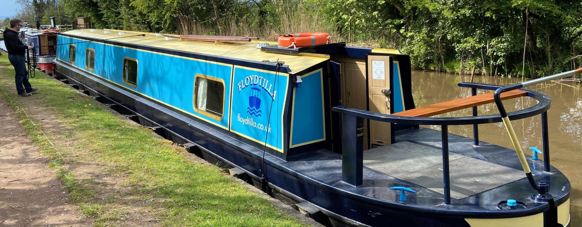
The Black Country ring takes between 8-12 days it is about 68 miles long and includes 71 locks. You travel on the Birmingham Main Line, Staffordshire and Worcestershire Canal, Trent and Mersey Canal, Coventry Canal and the Birmingham and Fazeley Canal.
If you are planning on doing the Black Country Ring our map shows all the place in our database on the ring, we are always updating this, So if you want to find a Mooring, Pub and Restaurants as well as location you can purchase Diesel or get a Pump out or full with Water.
To check for scheduled closures and other problems, it is best to visit the CRT Notices and stoppages page

If you have completed the Black Country Ring, how about a decorative map for you wall. We love the maps designed by Jo on NB Perseverance, take a look at their Tube-style illustration of the Black Country Ring.
General UK Maps
- UK Canal and River Marinas and Moorings
- Scottish Canals Marinas and Moorings
- Things to see near the Canal and Rivers
- UK Canal Festival Map
- Need a pump-out, Diesel, Water, etc etc
- Canal and Riverside Pubs, Restaurants and Cafes
- Boat Hire Locations
- Boat Yards, Repairs and Chandlers
Canal Ring Maps
- Avon Ring – Interactive Map
- Birmingham Ring
- Black Country Ring
- Cheshire Ring – Interactive Map
- Droitwich Ring
- Four Counties Ring
- Leicester Ring
- Stourport Ring
- Thames Ring
- Warwickshire Ring
River/Canal Route Planning
If you are looking for a canal/river route planner, we recommend Canal Plan, we use it to plan our routes, and then once we have a plan our maps are useful to find what else there is on the way

