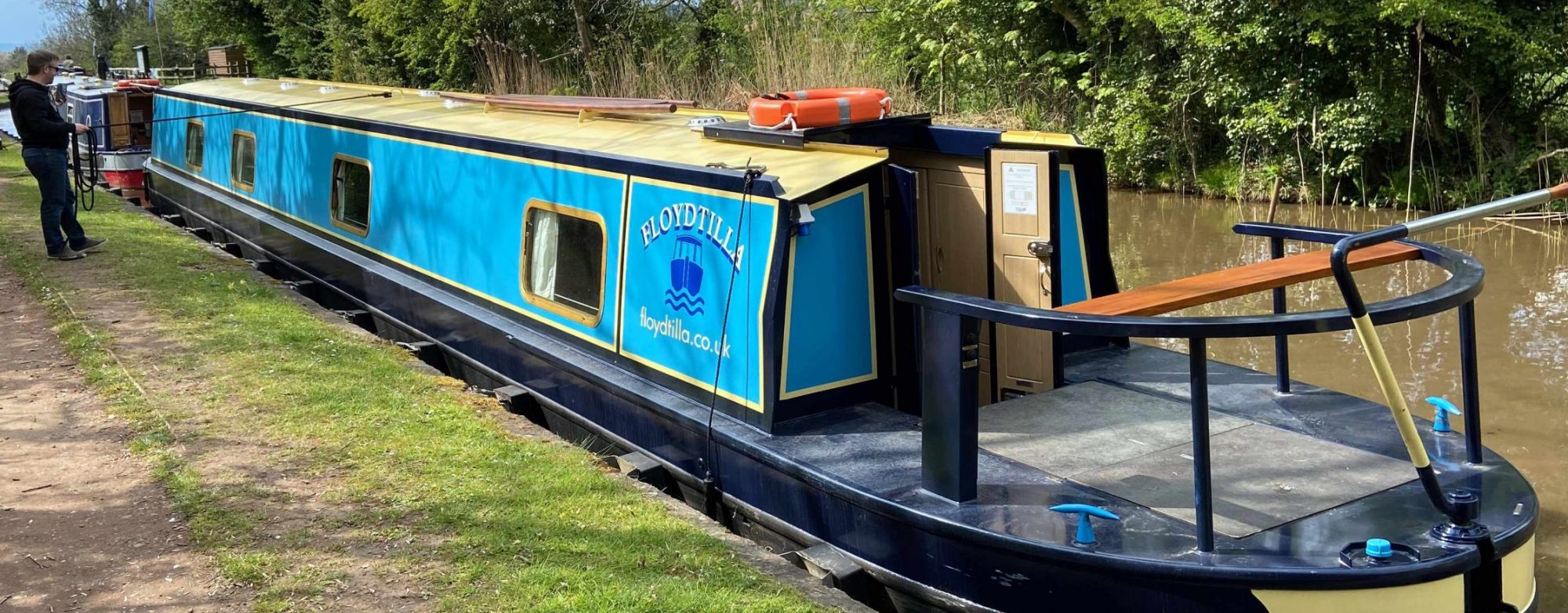
The Wilts and Berks Canal is a historic waterway in southern England that stretches approximately 52 miles, linking the towns of Melksham, Chippenham, Swindon, and Abingdon. Initially constructed in the late 18th century and opened in 1810, the canal was designed to facilitate the transport of goods, particularly coal and agricultural products, between Wiltshire and Berkshire.
Historically, the canal featured around 40 locks, allowing boats to navigate the varied landscape, though many of these have fallen into disrepair or been lost to development over the years. The canal connects with several other waterways, including the River Thames at Abingdon and the River Kennet at Reading, making it an important part of the regional navigation network.
One of the most interesting features of the Wilts and Berks Canal is the unique construction of the “Seend Cleeve” and “Wootton Rivers” locks, which are designed to accommodate the diverse levels of surrounding land. Additionally, the canal meanders through picturesque countryside and historic towns, offering boaters scenic views, wildlife spotting opportunities, and the charm of traditional waterside pubs. Restoration efforts are ongoing, aiming to revive this beautiful waterway for future generations to enjoy, making it a promising destination for both boating enthusiasts and history lovers alike.
Youtube Videos

