We are working our way down our list of navigable Canal and Rivers, the latest additions are as follows :-
New Canal/River Maps added
We are working our way down our list of navigable Canal and Rivers, the latest additions are as follows
- Ashby Canal
- River Avon – Bath to Bristol
- Coventry Canal
- Kennet and Avon Navigation
- Lee and Stort Navigation
- River Nene Navigation
- River Thames
If you have any local knowledge please let me know if I have missed anything important.
You can use our Facebook group for any comments
Facebook Group > 15,000 Members
It is a bit of a surprise that we have managed to clear the 15k members on our Facebook Group that supports our Cana/River Maps.
The project has grown in size a lot in the past 12 months we have over 50 maps completed and over 3700 data points in the system covering moorings, water points, pubs and cafes, etc etc, the latest additions being Railway Stations that are near the canals.
Traffic to the maps is growing, but I am expecting it to tail off during the winter as most boaters hunker down and the scheduled canal and river stoppages start.
Anyway, thanks for your support and we will continue to grow the maps.
David
Canals and Railway Stations
Lots of railway lines run near the canals as they shared a common problem, Canal don’t like hills and neither did early Railways trains, so there is a tendency to find them following similar routes.
In one of the groups on Facebook it was suggested that we should includes railway stations that are near the canals on our maps. We had used railway stations in the past as good places to meet up with people coming onboard for this very reason, so this started a new set of locations to add to the maps.
So far we have added 290 railway stations that are near enough to the canals to be useful, they have been added to the Everything Map and any other maps of individual canals, I will update the canal rings maps as I get time.
Latest list of canal maps on the site
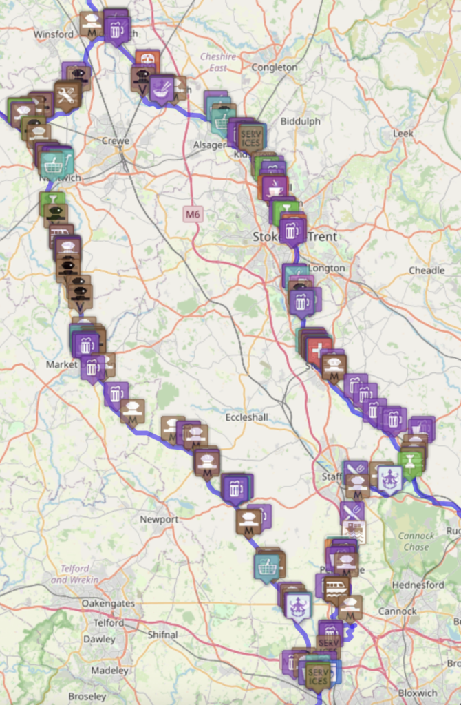
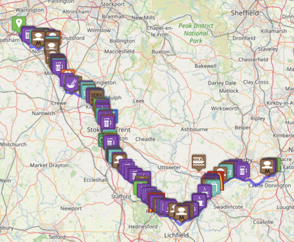
It has been about 15 months since we started our mapping project, this is not a navigation aid (but it can help), but a what is near me, where is my nearest XXXX map. So if you need to find something, a Shop, Cafe, Pump-out, Moorings etc we may have the answer.
The maps are all free to use but we do use google ads to help cover the costs.
We have lots more in the works, but these are the ones we feel can be used at the moment.
Canal/River Rings
- Avon Ring
- Birmingham Ring
- Black Country Ring
- Cheshire Ring
- Droitwich Ring
- Four Counties Ring
- Leicester Ring
- South Pennine Ring
- Stourport Ring
- Thames Ring
- Warwickshire Ring
General UK Maps
- UK Canal and River Marinas and Moorings
- Scottish Canals Marinas and Moorings
- Things to see near the Canal and Rivers
- UK Canal Festival Map
- Need a pump-out, Diesel, Water, Shops, etc etc
- Canal and Riverside Pubs, Restaurants and Cafes
- Boat Hire Locations
- Boat Yards, Repairs and Chandlers
Individual Canal Maps
- Aire and Calder Navigation
- Ashton Canal
- Basingstoke Canal
- Birmingham and Fazeley Canal – BCN
- Birmingham Canal Network (BCN) Complete
- Bridgewater Canal
- Calder and Hebble Canal
- River Douglas
- Droitwich Canal
- Fossdyke Navigation
- Grand Union Canal – Combined
- Hertford Union Canal
- Huddersfield Narrow Canal
- Huddersfield Broad Canal
- Lancaster Canal
- Leeds and Liverpool Canal
- Macclesfield Canal
- Oxford Canal
- Peak Forest Canal
- Regents Canal
- Ribble Link
- River Ribble
- Rochdale Canal
- Stratford Canal
- Trent and Mersey Canal
- River Wey Navigation
- River Witham
- Worcester and Birmingham Canal
- Wyrley and Essington Canal – BCN