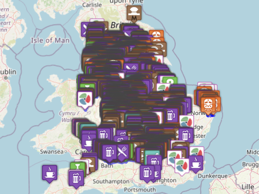
Canal & River Maps 4000 data points added

We now have over 4000 datapoints on our maps, that had taken under a year and half to complete this so far and we still many many more ready to add.

Over the past few months have been creating new GPX files (the blue lines on the maps) for all the individual canals, we are now updating the Canal and River rings to use these new GPX tracks.

We are also working on our Events Map, so if you have details of any Canal / River event we should be listing
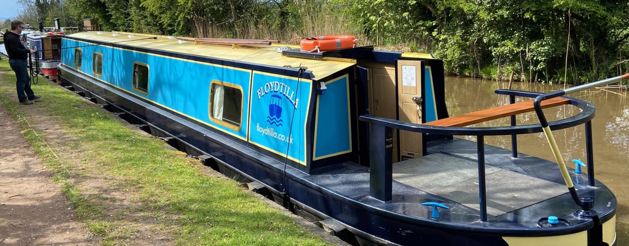
UPDATE – Canal Moorings Map – Removing the oddities

Just got to 820 locations and now working on removing the weird and wonderful places that seem to be in the CRT data, there are a lot of EoG moorings (End of Garden, so I am told) and clearly private or commercial (Boat yards that do not offer mooring etc) that are being removed.

Please feel free to send me sites we have missed  I need:- Name of location, address and postcode or Lat/long coordinates, and any other detail you have. emailed to “dfloyd @ floyd.co.uk” (Remove the spaces)