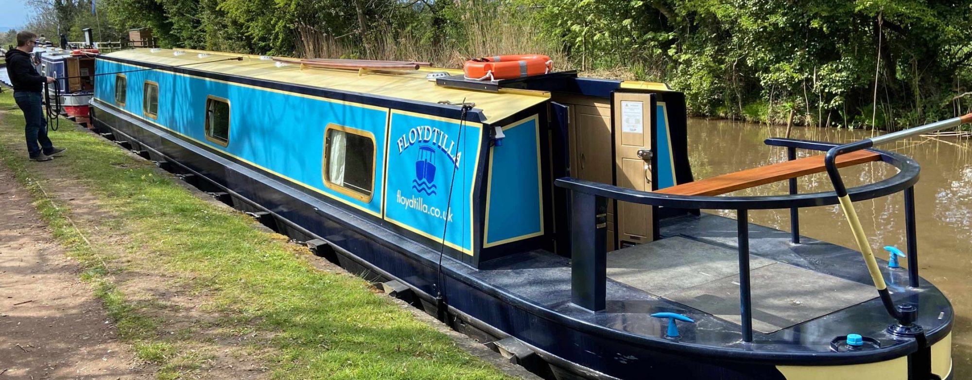
This is the home for the blog for our narrow boat Floydtilla which we purchased in 2021 from Black Prince Narrowboats from their Ex-Hire boat fleet.
Our UK Canal maps have now moved to www.canalmaps.co.uk they are designed to help you find what is nearby as you travel around the network, we have maps of Moorings and Marinas, Pubs, Restaurants and Cafes etc, Where you can find water, Pumpouts and diesel as well as interesting places along the way as well as any festivals and events.
See https://www.canalmaps.co.uk and also follow our mapping on Facebook https://floydtilla.co.uk/canal-river-maps/
Our boat was built by Pro-Build in 2007 and fitted out by Black Prince she was first hired out in 2008 as Chloe, now renamed by us as Floydtilla she is 62′ long and only 6’10” wide with a 42hp diesel motor ideal for a life on the UK canals.
In this blog we are covering our travels and adventures as well as the upgrades we make and the planning that goes into them. We get a much advice as we can when doing this, and we recommend you do the same.
Address
Weymouth, Dorset.