
https://www.canalmaps.co.uk
Since January we have been developing new software for our maps. It is all new code, with thousands of extra locations already added. We have approximately 1,000 items on our fix list, and thousands more locations scouted out and ready to add.
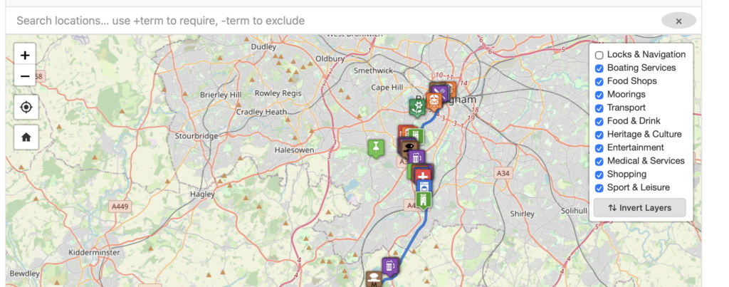
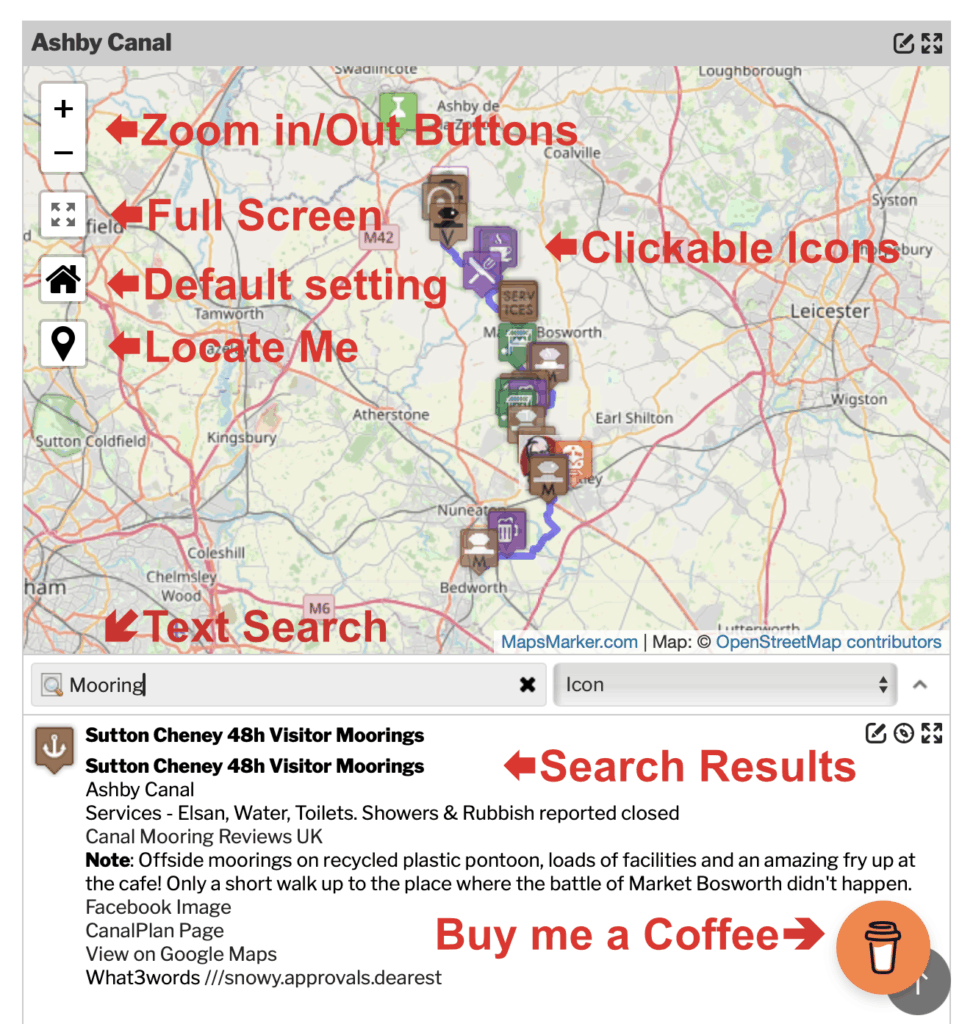
Among the new features is a Layers option in the top right corner of the map. This lets you switch certain layers on or off — so you can choose to see only Moorings or Food Shops, for example. By default we have switched off the layer containing navigation information for Locks, Bridges, Winding Holes etc., but this can be turned back on with a single click.
We have also optimised the GPX files — these are what create the blue lines on the maps. They have been stripped down to the bare minimum, so a file that was previously 7 MB has been reduced to just 2 MB, and many are now just a few kilobytes. This makes our maps even faster on the new system, and significantly better for mobile users.

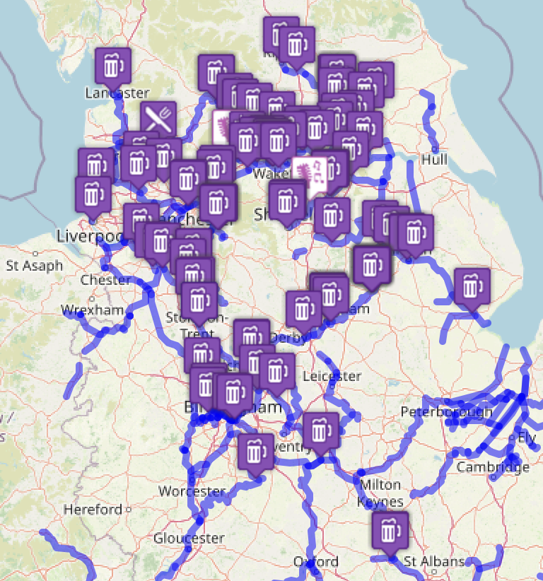
On the front page of the site is a map of all the canals currently on the system. You can mouse over them to see their names, and click to be taken to the detailed map with all the locations.
Please note this is a work in progress and is being updated daily with new features and locations.