Facebook Mapping Group Now Has Over 17,000 members

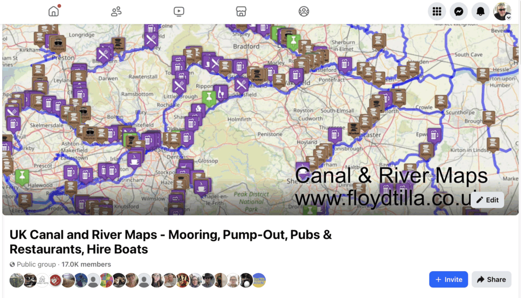
Very happy with our supporting Facebook group, we have now cleared 17K members, the group is now in its second year.

I try to keep it up to date with any news about the maps, and answer any questions as quickly as I can, it also the best place to contact me.

This year we are continuing to add lots of new map locations as well as a major update to the rings maps

Looking forward to getting back out on the canal, but at the moment I am recovering from an Op on my left hand, I am was told a 12 week recovery process.

Canal and River Maps for Mobile and Tablet users

Something for mobile and tablet users, we have a page with links to the maps we are testing, please let us know if this helps.

I would recommend closing the map page after use, as they can contain large amounts of data that can slow down your phone if left open

You can use the links below or see https://floydtilla.co.uk/phone-and-tablet-links/ which is on the maps menu above

General UK Maps

Canal & River Maps

Canal Rings

The Four Counties Ring – Map Updates

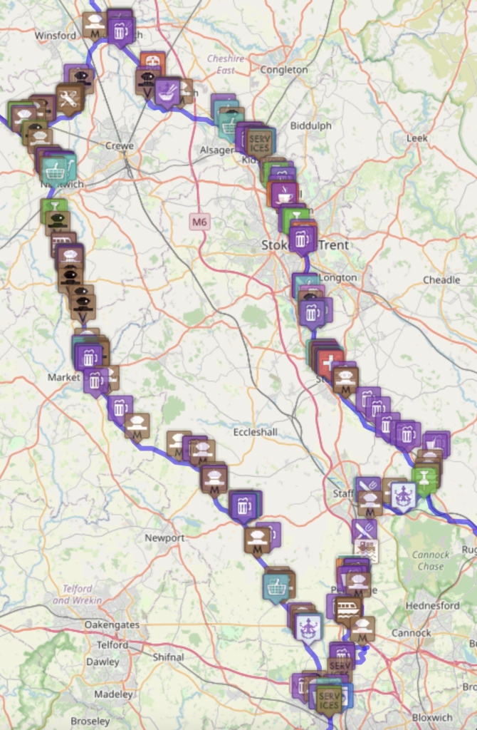
This year (2025) we are planning on completing ‘The Four Counties Ring’ so one of my tasks has been to update our interactive map. We are starting from our Marina mooring at Droitwich Spa Marina then up to Wolverhampton, as we did when completing the Stourport Ring in 2022, from there we can turn North on to the Staffordshire and Worcestershire Canal and then onto the Shropshire Union Canal to start the ring.

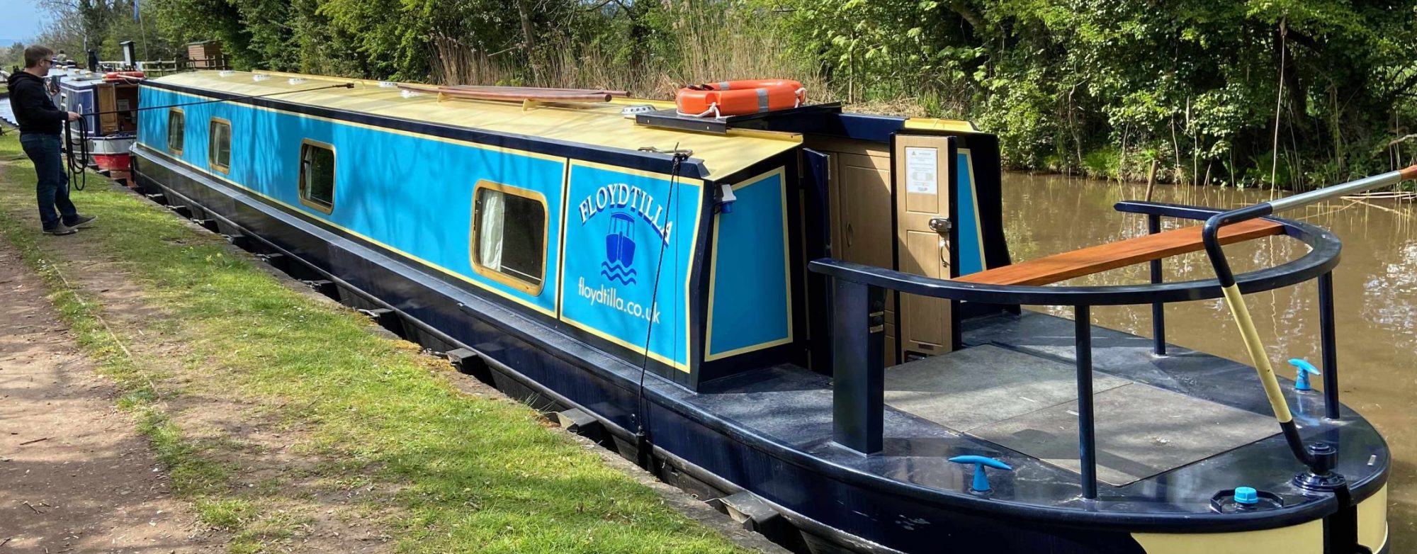
We expect this to take just over a month, we are not in a rush and need to be visiting some of the interesting places along the way.. maybe the Secret Nuclear Bunker if we can find it.